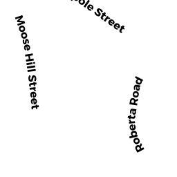
39 MOOSE HILL ST
Owner Information
LASSER, SCOTT H.
39 MOOSE HILL ST
SHARON, MA 02067


Property Details
39 MOOSE HILL ST is classified as a Single Family Residential (Split-level).
The primary structure on this property was built in 1960. There are 4620ft2 of built area within this property. There is 2274ft2 of residential/living space within this property. This property is listed as having 7 rooms.
39 MOOSE HILL ST is valued at 528900. The land is valued at 302300 and the structures are valued at 224400. There is an additional valuation of 2200 on this property.
The most recent deed for 39 MOOSE HILL ST is recorded at the local registrar in Book 34213, Page 0385. 39 MOOSE HILL ST was last sold on 2016-06-28 for 560000.
Assessment data from fiscal year 2022.
Flood Data
According to the FEMA National Flood Hazard Layer, this property does not appear to be in a flood zone. It may also be in an area not yet reviewed. Nonetheless, confirm this information prior to taking any action.
To view the flood hazards around this property, create a FEMA "Firmette" Map of the area around 39 MOOSE HILL ST.
Broadband Internet Providers
| Provider | Type | Bandwidth (mbps) | |
|---|---|---|---|
| Viasat Inc | Satellite | 100 | 3 |
| GCI Communication Corp. | Satellite | 0 | 0 |
| VSAT Systems, LLC. | Satellite | 2 | 1 |
| HughesNet | Satellite | 25 | 3 |
| T-Mobile | Fixed Wireless | 25 | 3 |
| Comcast | Cable | 1000 | 35 |
| Verizon New England Inc. | DSL | 5 | 0 |
Broadband service provider data from December 2020.
Adjacent Properties
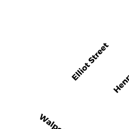
- 48 WALPOLE ST
Single Family Residential owned by PROSACK, LEONARD J - 46 WALPOLE ST
Single Family Residential owned by SOMASUNDARAM, MOHANRAJ - 44 WALPOLE ST
Single Family Residential owned by THOMPSON, SARAH D. - 35 MOOSE HILL ST
Single Family Residential owned by DEMERIS, GEORGE K - 50 WALPOLE ST
Single Family Residential owned by CAO, MIEN V - 51 MOOSE HILL ST
Single Family Residential owned by LOUNSBURY, JONATHAN